Bridges
The Bay Area Toll Authority (BATA) operates the Bay Area’s seven state-run toll bridges. Together, they make up an important network for vehicle traffic across the Bay.

The Bay Area’s seven state-owned toll bridges form a transportation network, allowing residents to move across the Bay to home, work and to points of interest. They are the backbone of vehicular transportation around the Bay Area.
Learn more about the history, toll information and bicycle and pedestrian access for each structure on the pages for each bridge.
View the BATA Toll Schedule for Toll Bridges. effective January 1, 2022.
Spanning the San Joaquin River, connecting northeastern Contra Costa County to Sacramento County.

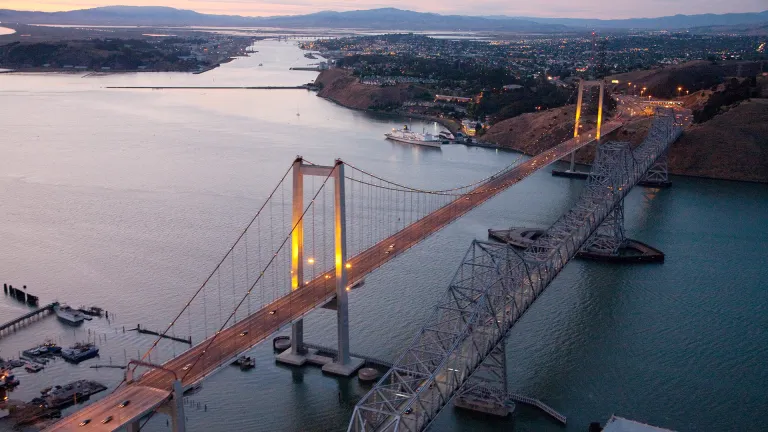
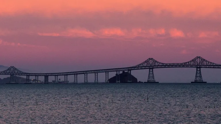
Crossing the Carquinez Strait between Benicia and Martinez, a bustling span featuring Northern California's first open road tolling system.
A beautiful new suspension bridge carrying vehicles, bikes and pedestrians westbound across the Carquinez Strait.
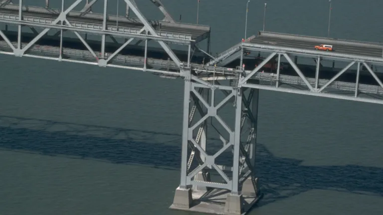
The first vehicular crossing over San Francisco Bay proper now provides three lanes in each direction, plus a bicycle/pedestrian path.
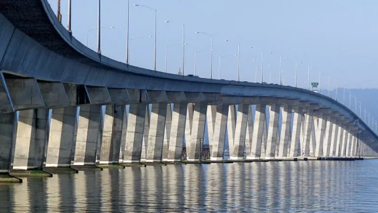
Located on Interstate 580 between Contra Costa and Marin counties, with a new bicycle and pedestrian path link in the San Francisco Bay Trail.
The region's workhorse bridge, carrying more than a third of the traffic of all of the state-owned bridges combined.

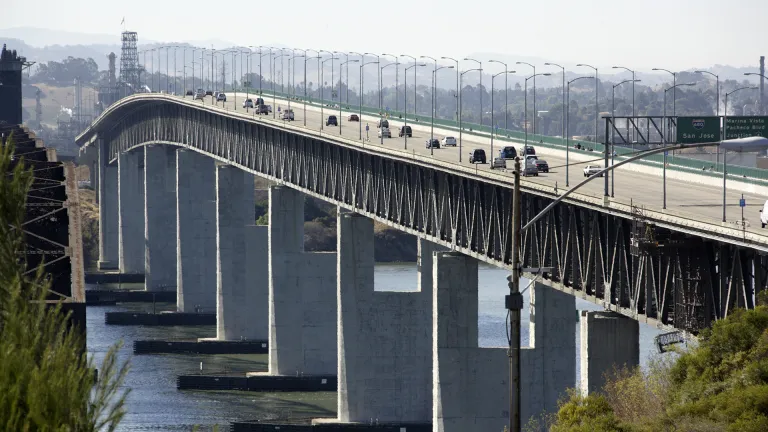
Serving State Route 92 between San Mateo and Alameda counties, now widened to improve evening commutes.

See vehicle traffic and public transit ridership numbers from 2019 to the present.
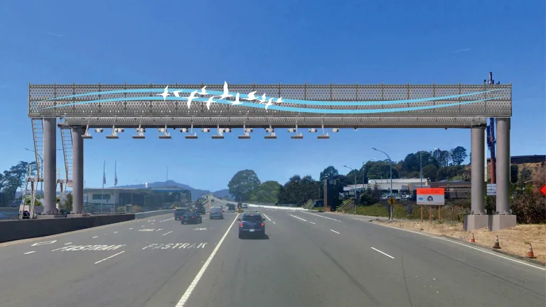
The Open Road Tolling Program will streamline the driver experience when the toll booths are removed from the seven state-owned toll bridges.
Bridge toll crossing dollars pay for bridge, highway and transit projects all around the Bay Area. See the past two decades’ worth of traffic and tolls.
The 1989 Loma Prieta earthquake spurred the seismic retrofit of all seven state-owned Bay Area toll bridges. Half of every $6 regular toll pays for this program.